Neighborways
Somerville, MA
TYPE:
Neighborway “Low Stress Network”
INSTALLED: 2014-present
We have worked with the City of Somerville to develop a robust network of low-stress “Neighborways”, alternative safer routes for people who walk and bike. These Neighborways help to connect key locations for everyday living like schools, parks, playgrounds and business districts. We collaborate with residents to embed elements of public art and traffic calming features. Neighborways help the City of Somerville in its efforts to implement Vision Zero, and help build community in the process.
Over the past 8 years Somerville has evolved into the region’s largest Neighborway network. 59% of Somerville’s streets are residential and low-stress.
These walk-and-bike-friendly sidestreets run parallel to the City’s busy arterial streets. Somerville’s Neighborway network now includes Skilton Street, Edward Leathers Park, Gilman Street, and Oliver Street. It is the only “low stress network” that goes underneath the high speed McGrath Highway.
at Hancock
at Aldrich Street
Spencer Street Neighborway painting
Signage
at Oliver Street
Our Process
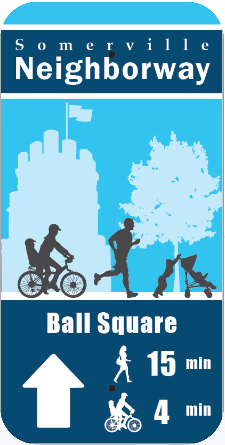
With the City’s Planning Department, we continue to help grow the 3+ mile network of Neighborway routes. Through research, data collection and evolving treatments over time we’ve helped the City develop guidelines for the Neighborways program. The toolkit includes temporary and permanent traffic calming treatments, wayfinding sign design, and asphalt art installations.
During the pandemic, we helped design, install, maintain, and study 13 miles of Shared Streets, Massachusetts largest installation. Based on lessons learned we are supporting the City with more permanent installations and continuing with our signature paint-day block parties.
Paint-day block parties are an ongoing community-building tool that celebrate local artists and bring people together. Repainting parties maintain and further build relationships, allowing designs and art to evolve.
Shared Streets research and design
Dimick Street traffic calming intersection, block party


